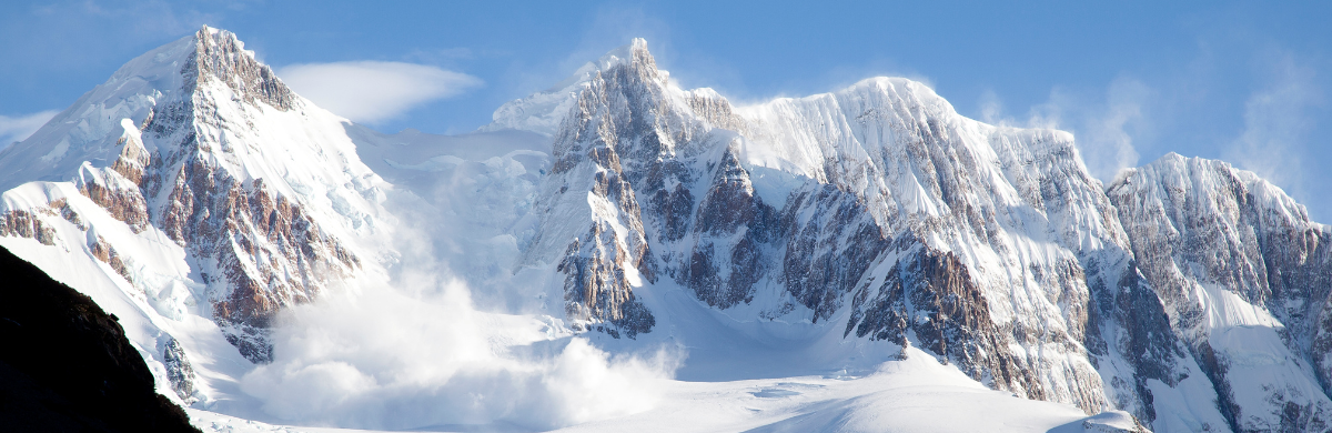
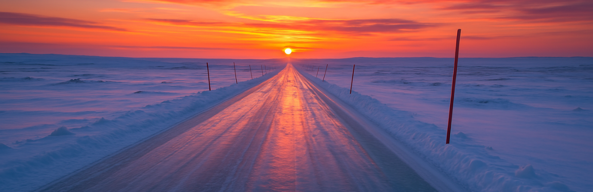
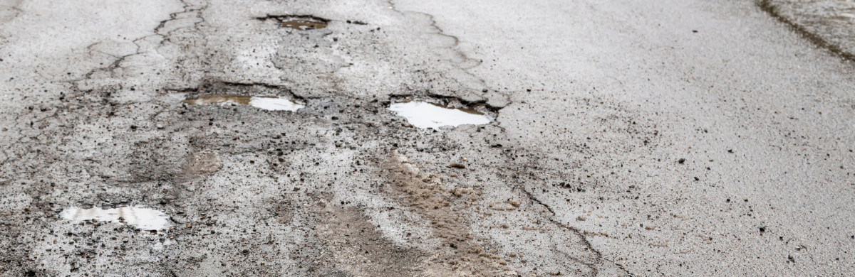
The Arctic region is facing an unprecedented crisis as temperatures soar nearly four times higher than in the rest of the world1. This warming trend has caused the operating window of ice and winter roads to shrink, leaving remote northern communities and industries with limited access to transport essential goods and resources during the winter months.
A recent study found that a further rise of 1.5 degrees Celsius in average temperatures would render 90% of existing ice roads unsustainable2.
Adaptation measures to mitigate shortening ice road season
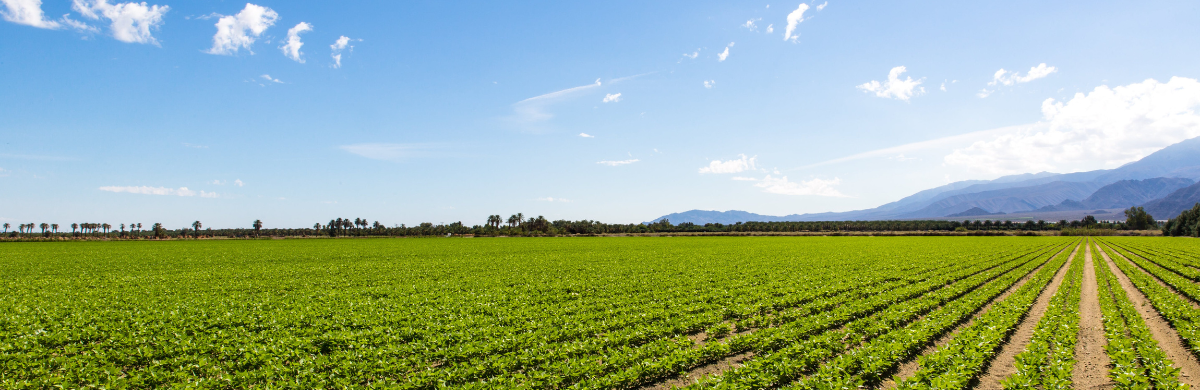
Building all-season roads is seen as an ultimate solution to the shrinking ice road season, but it is expensive and may take decades to build. Some remote communities have also raised concerns that the permanent roads could have a negative environmental, substance, and demographic impact, outweighing the economic and health benefits3.
Meanwhile, Dr. Barry Prentice, Supply Chain Management professor at the University of Manitoba, proposes cargo airships as a viable option for remote northern access. In recent years, there has been an increased interest in reviving the use of this ancient technology with the introduction of green or electric-powered airships with net-zero emissions4. However, governments have not yet welcomed this idea5. Air cargo is significantly more expensive than ground transportation, especially for heavy loads which would have to be considered vs. the cost of building all-season roads.
Another measure is a new technique called radar altimetry, which is found to potentially help maximize the ice road season in the Canadian Northern communities. Radar altimetry is an active remote sensing technology used to measure the elevation of an object or terrain using a radar beam. It is used to take measurements of ice thickness along the path of the ice roads, allowing the engineers to plan the construction of ice roads properly, allowing them to maximize the season in which they can be used6.
Improved ice thickness monitoring through real-time data
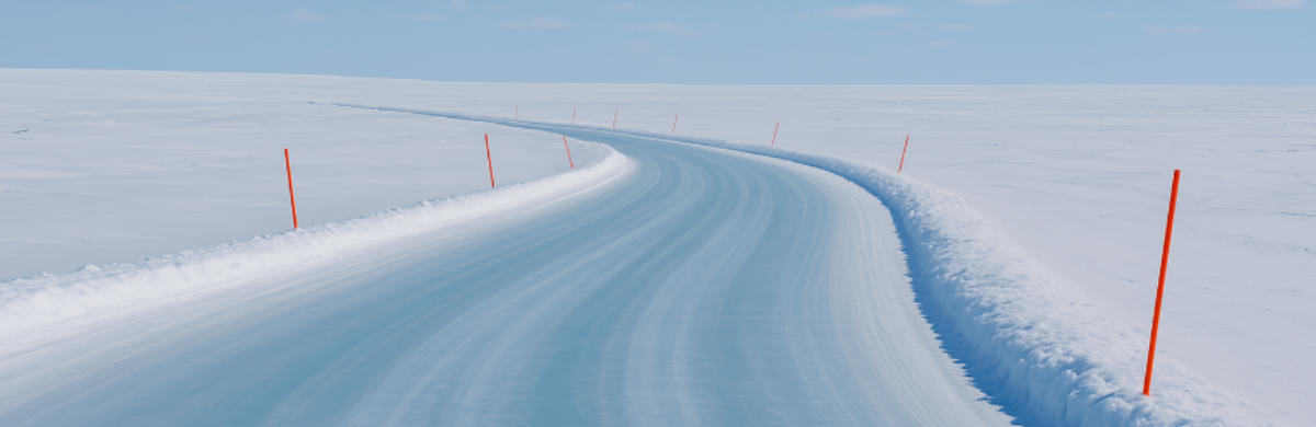
In the North Slope of Alaska, digital temperature cables and data loggers are used to monitor ice thickness in real time and determine safe ice road opening windows, which has been proven beneficial. Historically, road operators had to manually test ice thickness by drilling holes, however, this is time-consuming, destructive, and does not provide continuous ice thickness measurement. Pulling ground-penetrating radar (GPR) units on sleds is a more effective tool to measure continuous ice thickness, but it can be unreliable as the differences between ice types cannot be distinguished. Therefore, GPR is most effective when combined with traditional or other ice monitoring technology7. Moreover, both methods require workers to be out in the field, putting them at risk of thin ice/unfrozen tundra or being exposed to extreme weather conditions .
In Alaska, a beadedstream ice road project was implemented in which 24 ice road stations were set up 5 miles apart along a 400-mile (644 km) route. Each station included two thermistor strings (one for the road and one for control measurements off the road) along with a data logger to collect temperature data. Figure 1 illustrates two ice road cables drilled 12 inches (30 cm) into the ground, each cable consists of four evenly spaced temperature sensors connected to the data logger that collects and records temperature data. The loggers then transmit the data in real-time via satellite telemetry from these remote sites.
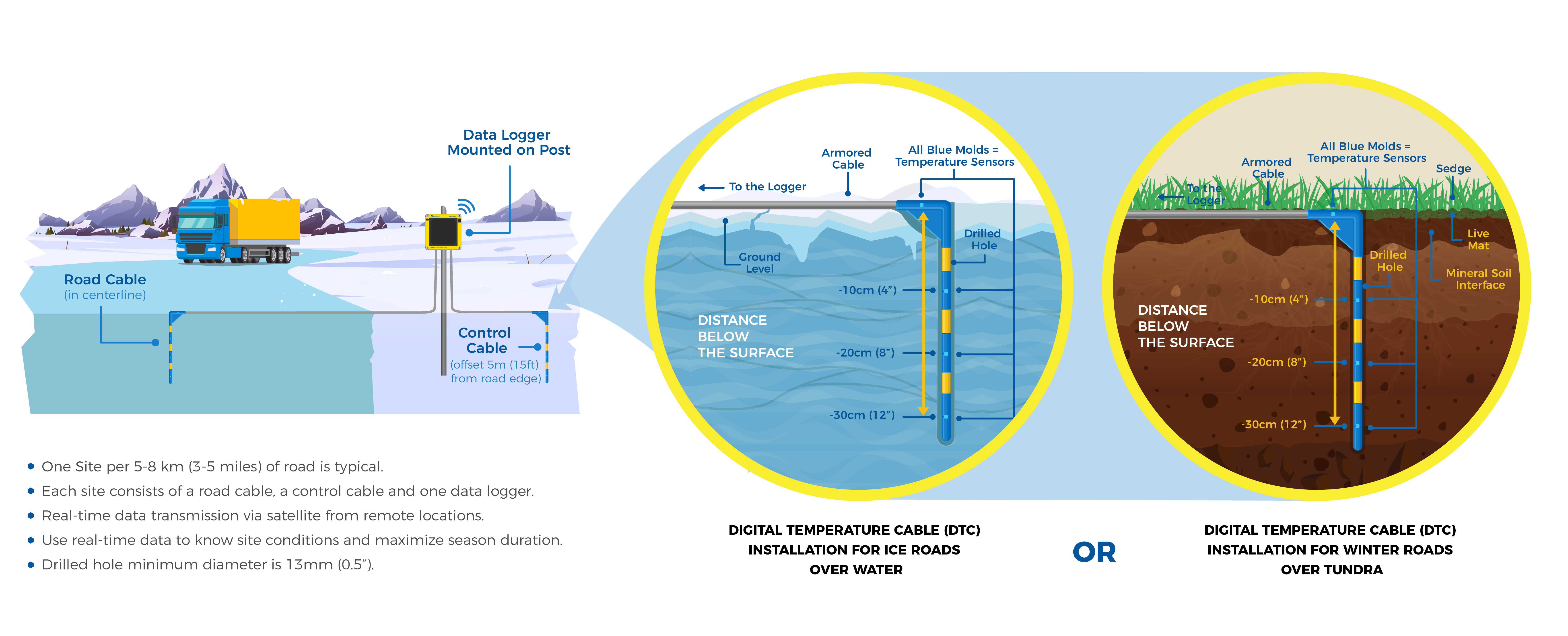
This real-time data is essential for the road constructors and operators to be able to predict and detect the moment when the ground temperature reaches 23°F (-5°C) at 1 ft (0.3 m) depth, as this is when the government issues road access permits. By using this data, the operators were able to predict the safe open window for the road, and extend it by 1 to 1.5 months, while reducing the standby time for equipment mobilized to build the road. Real-time and remote monitoring of snow cover and ground temperatures throughout the ice road route had significantly reduced the need for personnel to check the roads’ frozen thickness, thus ensuring a safer working environment, while also reducing standby costs and increasing valuable extra open days in the winter to allow goods and equipment to move
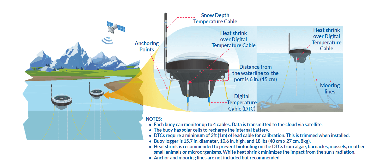
Real-time temperature monitoring is also useful for ice roads built on freshwater. The University of Alaska Fairbanks (UAF) researchers, for instance, used digital thermistor sensors, buoy data loggers, and other technology to monitor the temperature of frozen lakes and rivers that the Arctic communities rely on for winter travel. Installed and deployed in several Alaskan lakes, the buoys enabled researchers to collect freshwater monitoring data remotely and securely. With temperature data transmitting directly to orbit and stored in the cloud, the remote sites were monitored for signs of ice formation, growth, and melt – all without the need for researchers to risk their safety by traveling on thin ice to retrieve their data.
In conclusion, winter or ice roads are an important part of community and industry transportation networks in northern climates. The use of technology and real-time data to monitor and extend their safe open window is key to ensuring their future use in an ever-changing climate.
beadedstream specializes in providing temperature monitoring solutions for the North Slope winter work season. With its customizable ice road cables, data loggers, and real-time monitoring software, clients achieve access to permits weeks ahead of general ice road opening. This remote and real-time temperature monitoring solution allows road operators to safely open the road based on data, without requiring people to travel out onto unfrozen ground, thereby increasing worker safety and reducing standby costs. For more information related to ice road monitoring, email us at contact@beadedstream.com.
References:
1PBS. (2022, August 15). PBS.org. The Arctic is warming nearly four times faster than the rest of the world. Retrieved from: https://www.pbs.org/newshour/politics/the-arctic-is-warming-nearly-four-times-faster-than-the-rest-of-the-world#:~:text=One%20such%20region%20is%20the,than%20it%20was%20in%201980.
2Forrest, M. (2017, April 6). The Humanitarian. Thin Ice: The Drive Toward All-Season Roads in Canada’s North. Retrieved from: https://deeply.thenewhumanitarian.org/arctic/articles/2017/04/05/inside-arctic-ice-lies-a-frozen-rainforest-of-microorganisms
3Prentice, B. (2023, February 7). The Free Press. Melting ice roads require airborne solution. Retrieved from: https://www.winnipegfreepress.com/opinion/analysis/2023/02/07/melting-ice-roads-require-airborne-solution
4Phelps, D. (2021, April 12. Working_Draft. Airships & Ice Roads. Retrived from: https://2021.workingdraftmagazine.com/2021/04/12/airships-ice-roads/
5University of Waterloo. (2022, February 10). Waterloo News. New technique will improve the construction of ice roads and bridges. Retrieved from: https://uwaterloo.ca/news/media/new-technique-will-improve-construction-ice-roads-and
6Larsen, A. and Connor, B. (2021, Autumn). U.S. Department of Transportation Federal Highway Administration. Safety on Ice. Retrieved from: https://highways.dot.gov/public-roads/autumn-2021/04